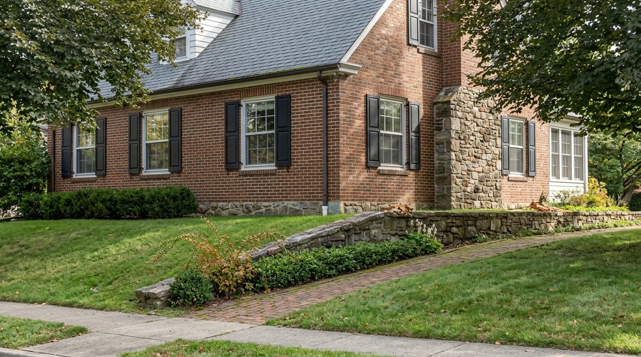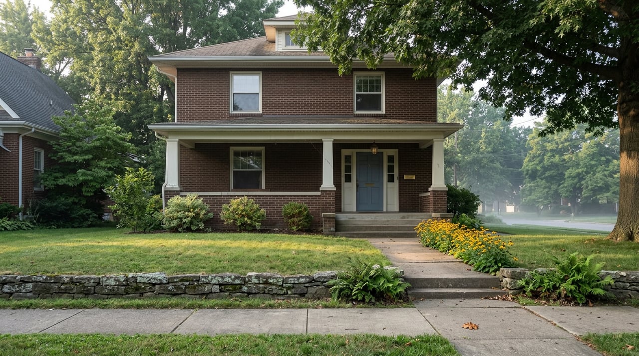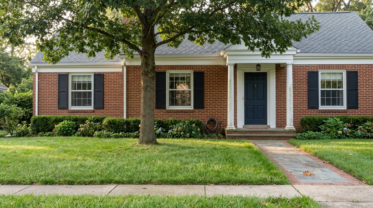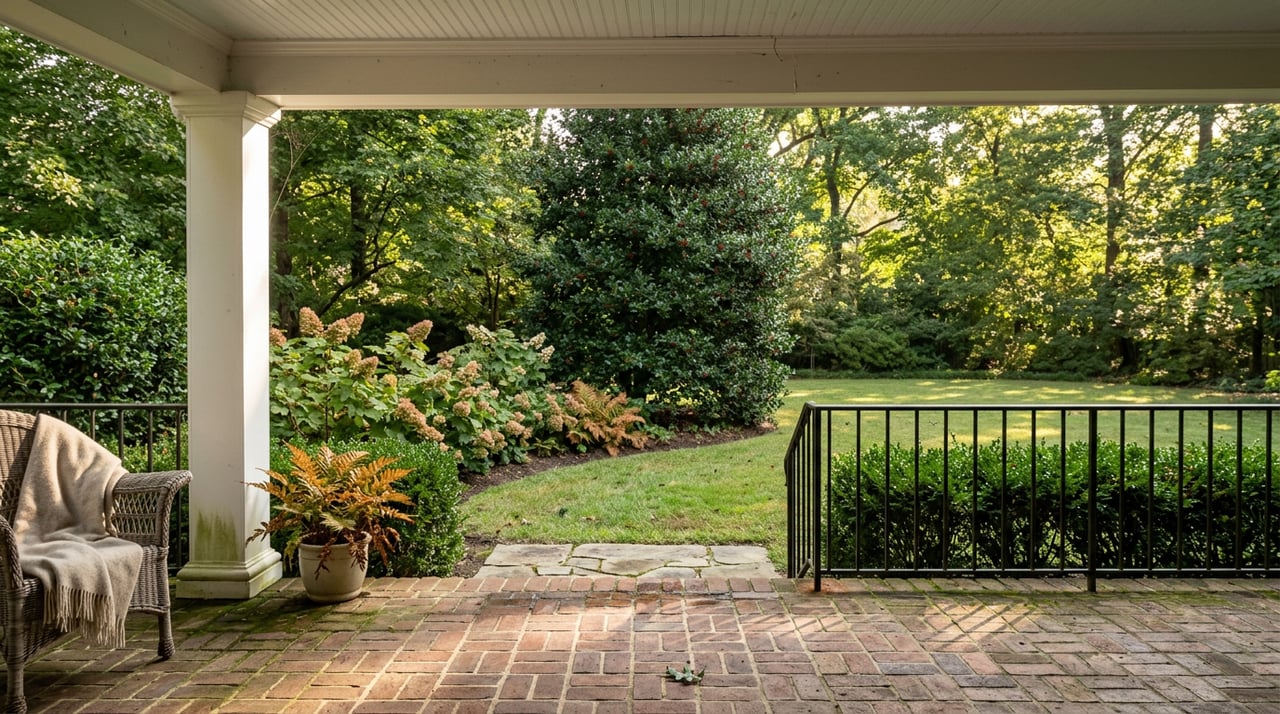
The dog knows the route before you do. Down the driveway, right on Nebraska, into Battery Kemble Park, along the ridge, then east through Wesley Heights Park until the trees open into Glover-Archbold and the walk becomes a real loop instead of an out-and-back. It has worked this way for years. Right now it doesn't work that way, and the reason says more about how this neighborhood is actually built than any real estate listing ever will.
The National Park Service has flagged a stretch of the Glover-Archbold Trail between P Street NW and Foxhall Road NW as inaccessible, part of the broader Rock Creek Park trail closures and detours the agency has posted for its Glover-Archbold and Battery Kemble corridor. For a resident who treats that connector as connective tissue between two of the neighborhood's largest green spaces, the closure does something small but revealing: it forces the walk to end somewhere else. And where it ends says a lot about what Wesley Heights actually runs on.
The Loop That Isn't a Loop Right Now
Battery Kemble Trail itself only runs about a mile, from MacArthur Boulevard north into the park, and it was never designed to be a destination on its own. Its real value has always been as a hinge: south to the C&O Canal, east through Wesley Heights Park to Glover-Archbold's 183 wooded acres, or north up a steep climb toward American University. With the P Street to Foxhall Road stretch of Glover-Archbold currently closed, that eastern hinge doesn't swing the way it used to.
What's left still has plenty to recommend it. Battery Kemble Park itself is not a passthrough, it's a destination. The ridge holds the preserved earthworks of an actual Civil War fortification, built in the autumn of 1861 to hold two 100-pounder Parrott rifles trained on Chain Bridge and the Virginia shoreline. The parapet and gun positions are still visible today. Birders treat the park as a genuine hotspot, with more than 160 species recorded there over the years, including 30 kinds of warblers that move through in spring. The park is also home to a National Champion Chestnut Oak, a title that means exactly what it sounds like: the largest known specimen of its species in the country, standing in a 70-acre strip of woodland most people drive past without a second look.
None of that requires the Glover-Archbold connection to be worth a Saturday morning. But for the runners and dog walkers who built a habit around the full loop, the closure has quietly rerouted a piece of the neighborhood's weekend rhythm back toward the streets and the shops. And that's where the more interesting pattern shows up.
Two Doors, Not One Street
Most Washington neighborhoods with a walkable commercial core have something like a spine, a single stretch of storefronts you move along in one direction. Wesley Heights and its neighbor Spring Valley never got that. What they got instead is two separate retail developments facing each other across Massachusetts Avenue, built decades apart, doing different jobs.
The older one is the Spring Valley Shopping Center, developed between 1939 and 1950 by W.C. and A.N. Miller, the same firm that laid out Wesley Heights itself in the 1920s. The center's entrance curves off Massachusetts Avenue in a way that was unusual for its era, and it was designed in a Colonial Revival style specifically to complement the residential architecture the Miller firm had already built around it. Wagshal's, the neighborhood's gourmet grocery and deli counter, anchors that building today, with Compass Coffee drawing the morning crowd nearby.
Across the street sits Spring Valley Village, a newer and more conventional retail strip built around a Crate & Barrel and a handful of locally owned restaurants. Millie's is the one residents actually name when you ask where people go. Its patio, with garage door style windows that roll up in warm weather, has become enough of a fixture that neighbors describe running into each other there as a near certainty, especially once the outdoor seating opens for the season.
The point isn't that one center is better than the other. It's that Wesley Heights was never organized around a single commercial gesture the way Georgetown or Capitol Hill were. It was organized around two separate developments built at two separate moments, doing two separate jobs, deli and coffee on one side of Massachusetts Avenue, dinner and home goods on the other. Residents have always crossed the street to complete a normal errand day. With the trail loop currently interrupted, more of the neighborhood's foot traffic than usual is landing on exactly that pattern.
The Museum That Keeps a Different Calendar
There's a third node in this weekend geography, and it belongs to a university rather than a retail landlord. The Katzen Arts Center sits at Ward Circle, the intersection of Nebraska and Massachusetts Avenues, and houses the American University Museum inside a 30,000 square foot space that the university describes as the largest university facility for art exhibition in the Washington region.
The museum runs on its own clock. Its spring 2026 season opened with a reception on February 7, unveiling five new shows at once, including Ilana Manolson's paintings of overlooked plant life in "The Air We Share," minimalist sculpture from Valerie Brathwaite and José Gabriel Fernández exploring Caribbean and Latin American identity, two separate exhibitions built around Washington sculptor Joan Danziger's work, and a selection from the Weber Collection drawn from longtime DMV collectors Joan and Bruce Weber. Whatever happens to be on the walls by the time you read this will be different, because the museum rotates its exhibitions throughout the academic year rather than holding a single show for months at a stretch. What doesn't change is the rhythm: new work arrives with a public reception, runs its course, and gives way to the next rotation, all inside a building that functions as the neighborhood's de facto public gallery even though it belongs to a private university.
The museum keeps regular hours Wednesday through Sunday, 11 a.m. to 4 p.m., which means it's genuinely available on a weekend afternoon rather than requiring advance planning. Between a walk in Battery Kemble, lunch at Millie's, and an hour inside the Katzen rotation, a Wesley Heights Saturday assembles itself out of three institutions that have nothing to do with each other administratively and everything to do with each other geographically.
What the Gap Actually Reveals
Put the pieces next to each other and a pattern emerges that a single Main Street would hide. The trail network here was always a connector rather than a single trail, stitched together from a Civil War battery site, a university-adjacent park, and a stream valley, each administered slightly differently and each capable of closing independently of the others. The retail core was always split across two developments from two different eras rather than concentrated on one strip. The cultural anchor was always a university museum on its own exhibition calendar rather than a civic gallery on the city's calendar.
None of that is a flaw. It's just how this particular stretch of Northwest Washington got built, in pieces, by different hands, over roughly a century, and it usually stays invisible because the trail loop papers over the seams. Right now, with that loop interrupted between P Street and Foxhall Road, the seams show. A neighborhood that felt like it had one continuous rhythm turns out to be running on three separate ones that happen to overlap most weekends. That's worth knowing whether you're planning tomorrow's walk or you've lived on these streets for twenty years and just never had a reason to notice.
If you're curious about what any of this means for property here, or you're weighing a move within Northwest DC, close-in Maryland, or Northern Virginia, Matthew Paschall brings the same kind of block-by-block attention to every conversation. Let's Connect.